Pegasus NTM Editor
Geo-Edit allows to load the Numerical Terrain Model Files, required for Microwave Link planning, in various formats including SRTM and to perform different operations on them:
Load Mode
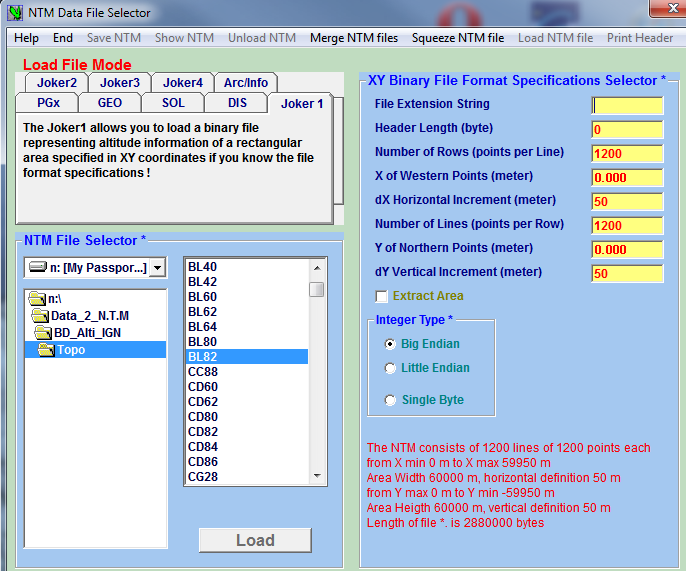
Load a NTM and save it in a Pegasus format (extension PGA or PGM or PGX) which is more efficient than the original format in the PEGASUS context; click the load NTM file menu.

NTM Data File Selector
Merge Mode
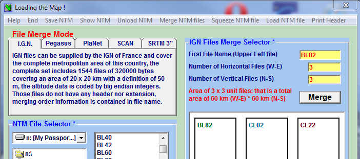
Many NTM editors deliver NTM as a collection of individual files, each file representing a square area of limited dimensions (SRTM, PlaNet, IGN …). Pegasus can merge together the files that form a rectangular area into one unique file in PGx format.
The unique file system is much more efficient for Pegasus Configurator to retreive Microwave Link Profiles and to perform interference calculations with calculated diffraction values for interference paths.

Merge
Squeeze Mode
Squeeze PGx files before or after loading or merging to obtain less bulky files for a given area. This is useful if you have NTM with definition smaller than 10m: for a Microwave Link planning application, a NTM definition from 20 to 100 meter is acceptable. When performing interference calculations it is sufficient to have 100 m or bigger definitions to have less calculation time. Ideally such files should represent the highest value of the altitude found in the definition interval. Pegasus can do that when you squeeze a file to a PGM format (M stands for Minimum). You can also squeeze to PGA (A : Averaged altitudes) or PGX (X: maXimum altitude)**
Show Mode

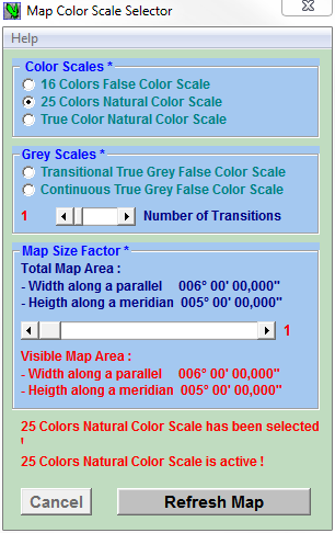
Map Color Scale Selector
After merging, squeezing or just loading files you can view the map of the NTM area to check the results of the process; click the Show NTM menu. The Map Color Scale Selector enables to choose the color coding and the Size Factor that determines the picture size.

NTM Picture: 25 Colors, Natural Color Scale
Save Mode

NTM Data File Selector
Once the result seems good the NTM can be saved into a file with a Pegasus file format ready to be used by Pegasus Configurator. The elevation and clutter data shall be used to import microwave link profiles and perform interference calculations.
Prior to saving, the fields “File Name” and “Map Area” will be filled. Note that the fields containing geo‑referencing data are already filled by the program. The PEGASUS PGx format defines a file with a header that contains all the necessary information do read and interpret the file contents.
Permanent link to this article: https://lakeford-consultants.com/pegasus-microwave-link-software/pegasus-ntm-editor/


